Recent updates
Find information on recent updates to searches and map layers that are provided within GeoResGlobe.
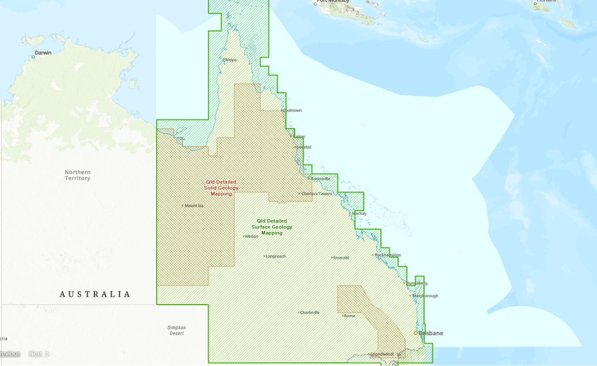
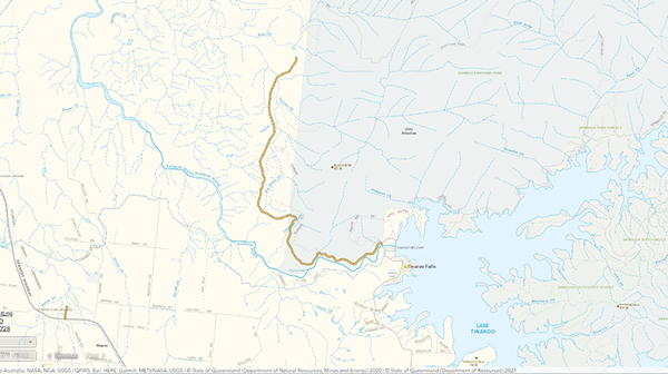
Detailed Geology DataNew
Updated detailed geology data (Sept 2025) is now available in GeoResGlobe.
Read more
Detailed Geology Data
Updated detailed geology data (May 2025) is now available in GeoResGlobe.
Read more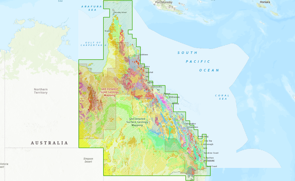
Detailed Geology Data
Updated detailed geology data (September 2023) is now available in GeoResGlobe.
Read more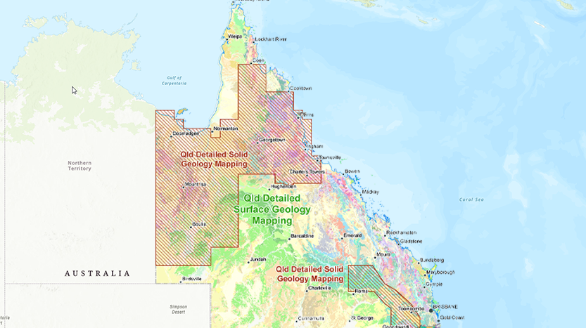
Detailed Geology Data
Updated detailed geology data (July 2023) is now available in GeoResGlobe.
Read more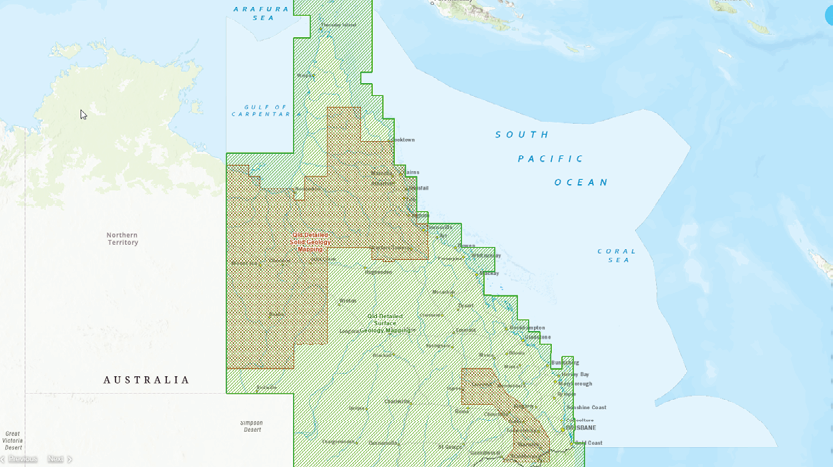
Detailed Geology Data
Updated detailed geology data (August 2022) is now available in GeoResGlobe.
Read more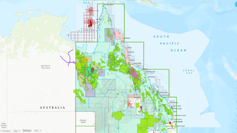
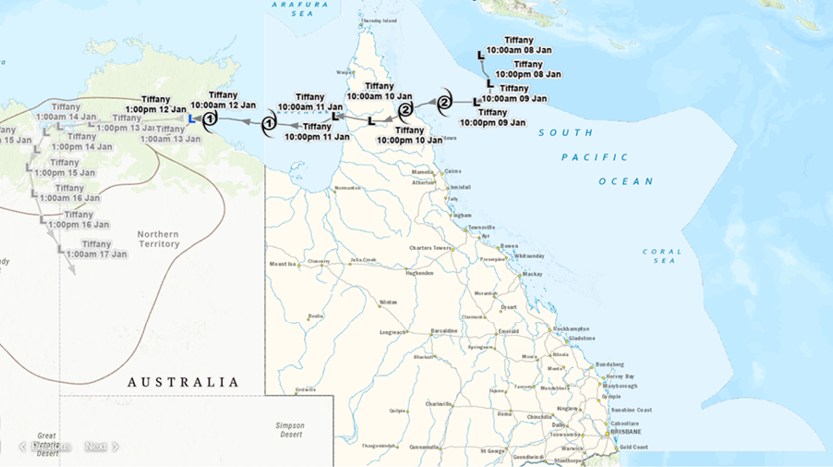
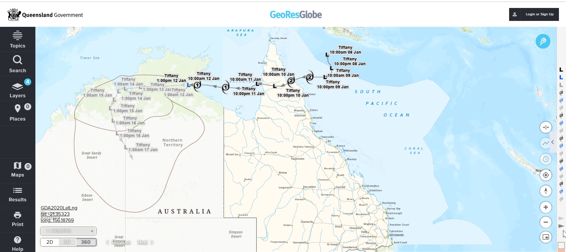
Events and incidents
The Bureau of Meteorology’s spatial data on is now available on GeoResGlobe.
Special Wildlife Reserve
Special Wildlife Reserve (SWR) has been added to the Unavailable land group.
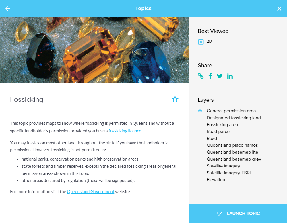
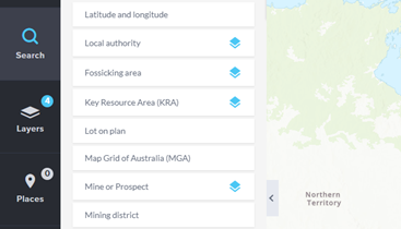
Fossicking topic
A new fossicking topic and search function are now available.
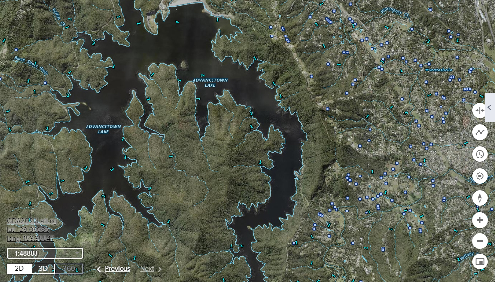
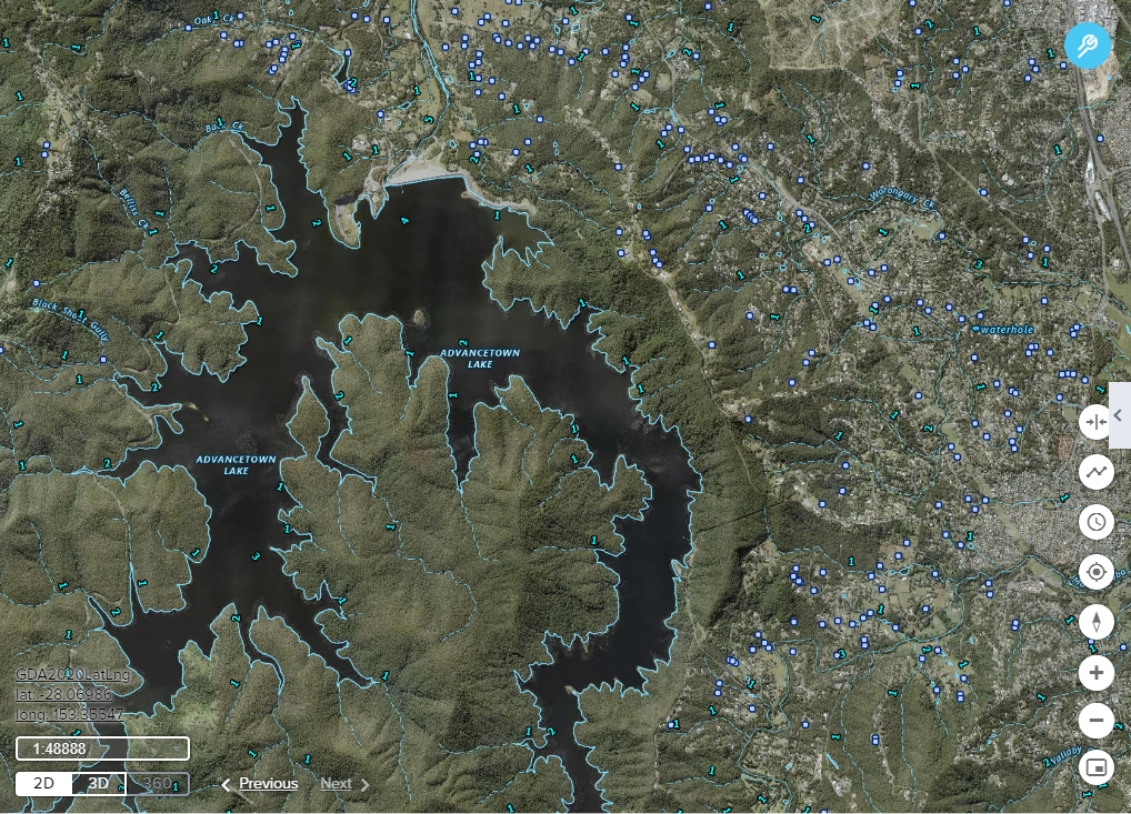
Water feature layers
Watercourse and water feature layers are now available in the Water group.
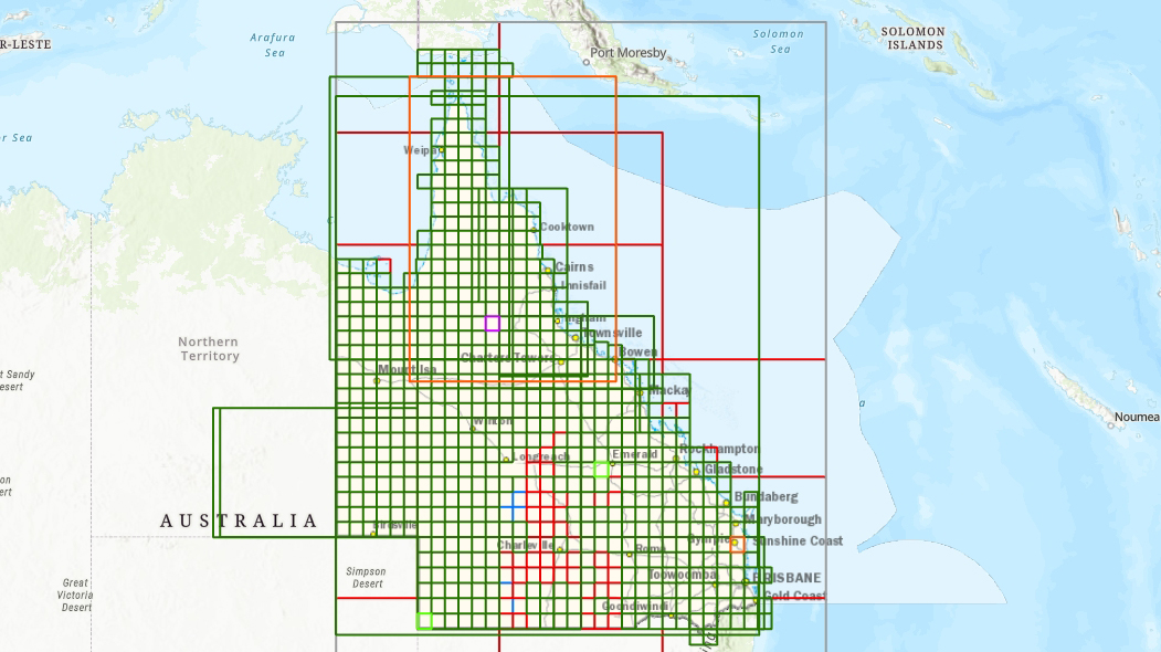
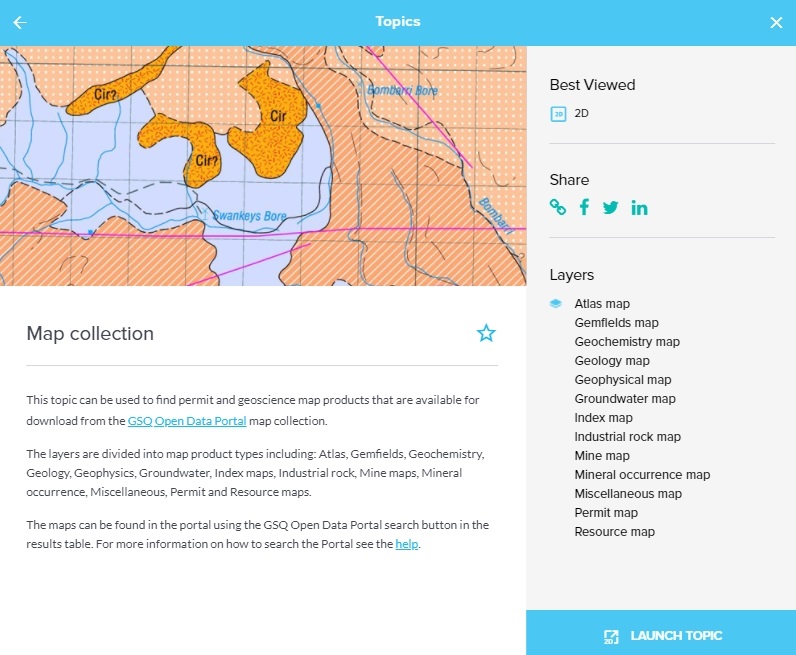
Map Collection layers
The map product layers in GeoResGlobe have been replaced with a new group of layers and Topic called Map Collection.
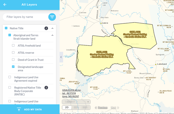
DLA layer
The Designated Landscape Area (DLA) layer within the Native Title group has been replaced with a new DLA layer.
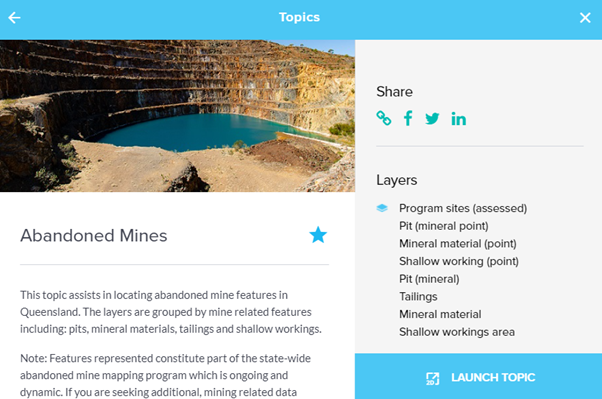
Abandoned mines layers
A new abandoned mines topic and group of layers is now available.
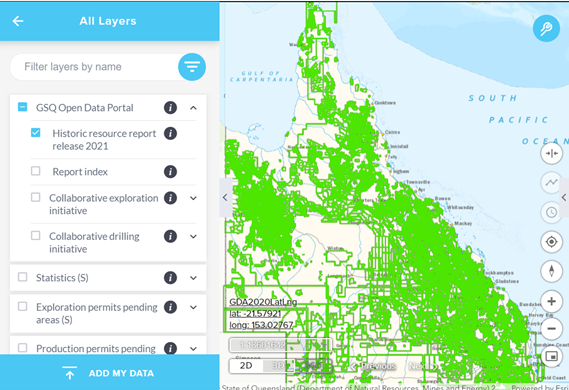
Historic report release layer
A new layer for the historic resource report release 2021 has been added to the GSQ Open Data Portal group.
Reports index layer
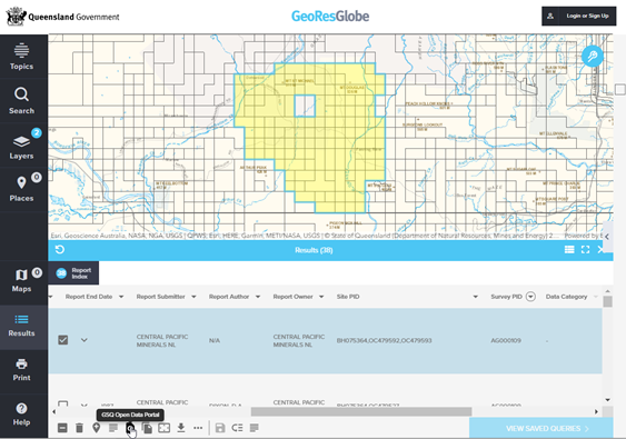
The reports index layer now sources data directly from the GSQ Open Data Portal (GODP).
CEI layers
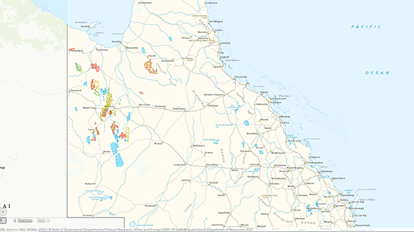
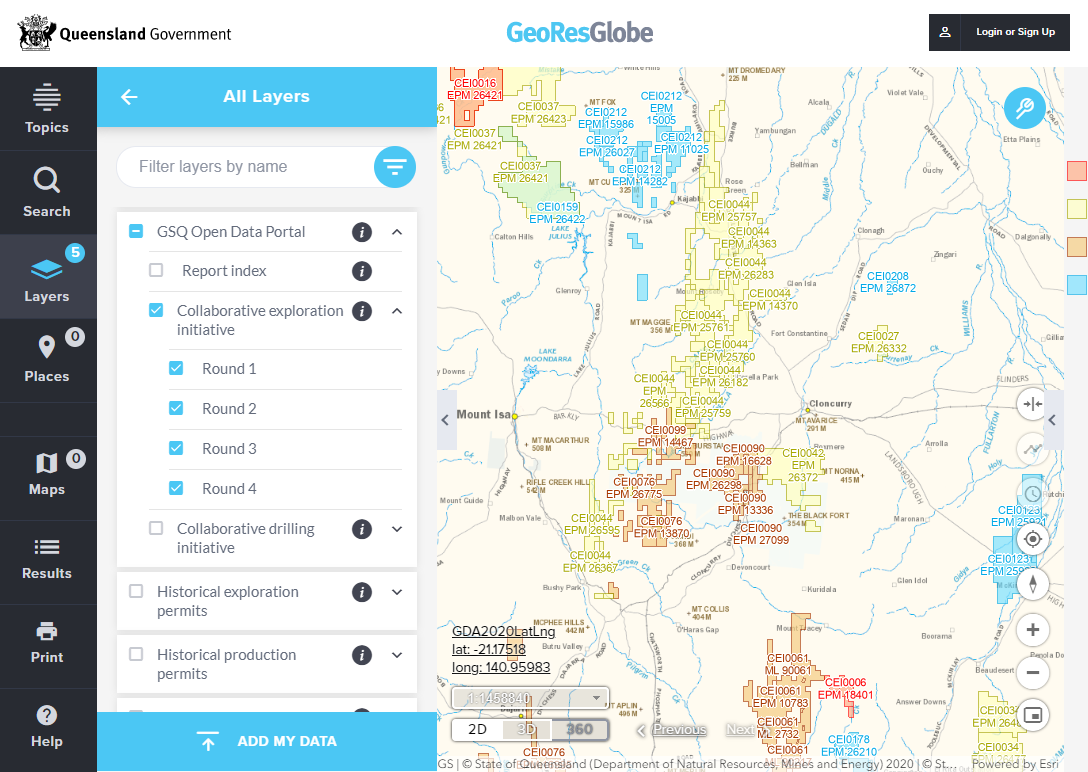
Collaborative Exploration Initiative (CEI) rounds 1 to 8 have been added to the GSQ Open Data Portal group.
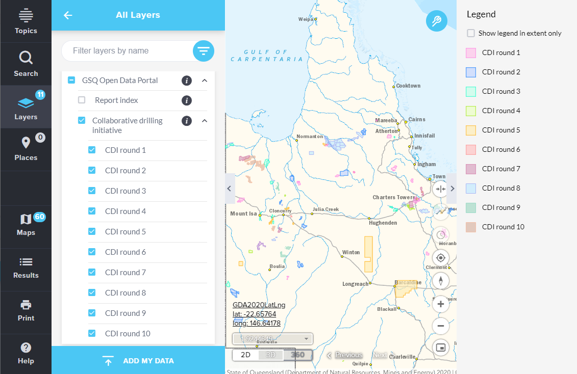
CDI layers
Collaborative Drilling Initiative (CDI) rounds 1 to 10 has been added to the GSQ Open Data Portal group.
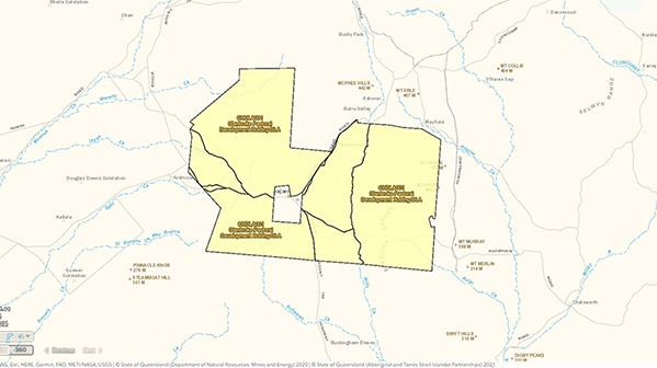
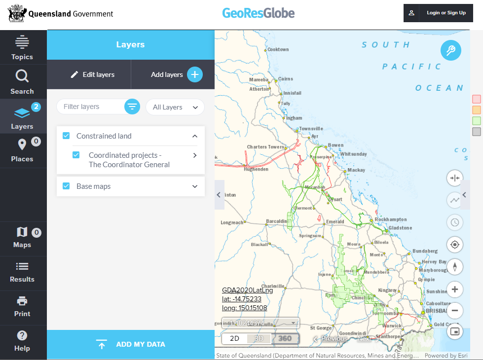
Coordinated projects layer
Coordinated projects - The Coordinator General has been added to the Constrained lands group in the Layers menu.
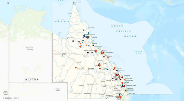
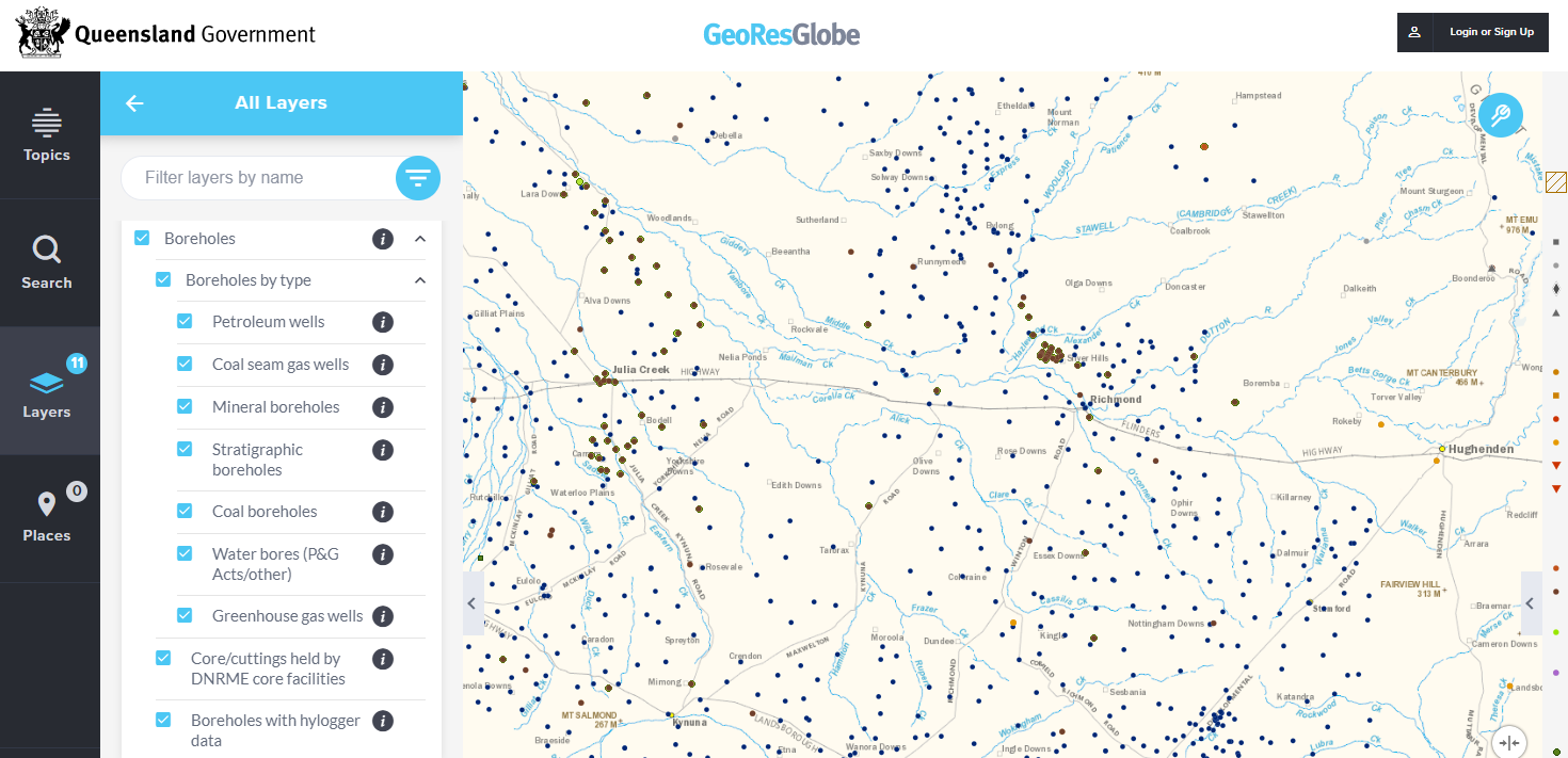
Boreholes topic
The boreholes topic has now been updated to align with the content and the GSQ Open Data Portal.
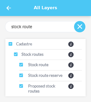
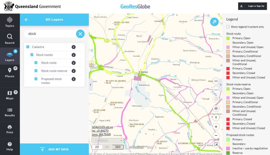
Stock route layers
The stock route layer (within the Cadastre group) has been split into three separate layers.
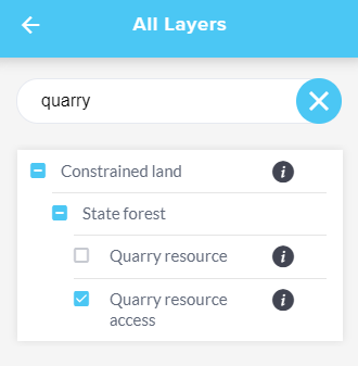
Quarry resources access layer
A new layer to display the access routes to quarry resources.